“GEGHARD”
SCIENTIFIC ANALYTICAL
FOUNDATION


2026
2026
2026-03-23
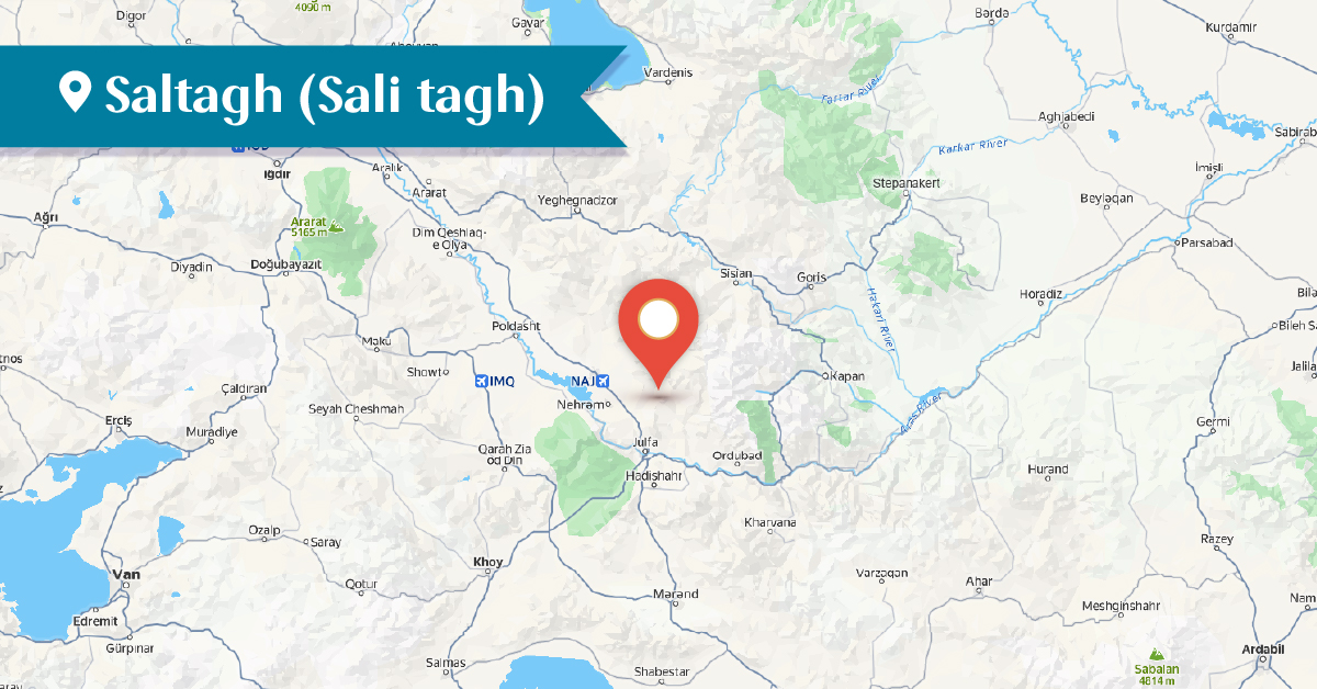
Saltagh, an Armenian village, was located in the Yernjak district of the Syunik province of Greater Armenia, on the left bank of the river of the same name, at the foothills of Mount Odzasar.
According to tradition, the village had once been a quarter of the city of Tigranavan and, because it was situated on large stone slabs, it was called Sali-tagh (“stone quarter”), from which the name Saltagh later derived.
In the 17th century, information about the Armenian population of the village was provided by Garcia de Silva Figueroa, the head of the Spanish embassy at the court of Shah Abbas I of Persia. He noted that in twelve villages under the jurisdiction of the city of Nakhijevan—including Saltagh— lived Armenians who had adopted Catholicism. They had adhered to this confession since the 14th century.[1]
According to a report compiled by Catholic missionaries in 1616, three Catholic Armenian families (20 people) lived in Saltagh. However, before the deportation of Armenians in 1604, the village had 120 Catholic Armenian families with about 800 inhabitants in 1601.[2]
At the beginning of the 17th century, during the campaigns of Shah Abbas (1604–1605), the village became deserted, but from the end of the same century it was resettled again. By the end of the 18th century, as a result of the heavy taxation policy pursued by Safavid Persia, as well as the use of repression, part of the Catholic Armenians of Nakhijevan converted to Islam, while others migrated.
After the Russo-Persian War of 1826–1828, in 1828, 202 Armenians from the region of Khoy were resettled in Saltagh. In 1829–1832 the village had 155 inhabitants; in the 1870s it had 50 households, and in 1906 it had 48 inhabitants.[3]
The people of Saltagh were engaged in agriculture, horticulture, animal husbandry, and tobacco cultivation.
Surb Gevorg (St. George) Church of the village was built in the 13th–14th centuries, the first mention of which dates to 1540.[4]
In the 1860s, as well as according to data from 1873, the Surb Gevorg Church was already in ruins.
The Kusanats Chapel was also located in the village. According to tradition, it was founded on the relics of the Hripsimian virgins. The chapel was rebuilt in the 19th century and is currently ruined.[5]
On the elevated northern side of Saltagh was a cemetery dating from the 12th–16th centuries. By the end of the 19th century, the cemetery contained about 300 tombstones, whereas today only 23 remain, 8 of which bear inscriptions. From the late 19th century to the early 20th century, the tombstones were gradually removed, while the inscriptions were defaced and destroyed.[6] Near the village there is also a mountain called “Hars u Pesa” (“Bride and Groom”).
Today the village is located in the Julfa district of the Nakhijevan Autonomous Republic, about 20 km northeast of the city of Julfa, and is inhabited by Azerbaijanis.[7]
Bibliography
Ghevond Alishan, Sisakan, Venice, 1893.
A. Ayvazyan, Nakhijevan: An Illustrated Encyclopedic Guide, Yerevan, 1995.
A. Ayvazyan, The Armenian Monuments of the Nakhijevan ASSR: A Comprehensive List, Yerevan, 1986․
E. Tajiryan, New Julfa in European sources of the 17th -18th centuries, vol. II. Yerevan, 2017.
A. Yeprikyan, The Role of the Catholic Community in Nakhijevan in the 17th–18th Centuries,” in Nation, State, Homeland: The Idea of Statehood, Proceedings of the 3rd International Conference, Yerevan, 2018.
T. Kh. Hakobyan, St. T. Melik-Bakhshyan, H. Kh. Barseghyan, Dictionary of Toponyms of Armenia and Adjacent Regions, Vol. 4, list 1, Yerevan, 1998.
Nakhijevan Atlas, Research on Armenian Architecture Foundation, Yerevan, 2012․
[1] E. Tajiryan, New Julfa in European sources of the 17th -18th centuries, vol. II. Yerevan, 2017., p. 17
[2] Ghevond Alishan, Sisakan, Venice, 1893, p. 387; A. Yeprikyan, The Role of the Catholic Community in Nakhijevan in the 17th–18th Centuries,” in Nation, State, Homeland: The Idea of Statehood, Proceedings of the 3rd International Conference, Yerevan, 2018.
[3] T. Kh. Hakobyan, St. T. Melik-Bakhshyan, H. Kh. Barseghyan, Dictionary of Toponyms of Armenia and Adjacent Regions, Vol. 4, list 1, Yerevan, 1998.
[4] Nakhijevan Atlas, Research on Armenian Architecture Foundation, Yerevan, 2012, p. 24.
[5] Ibid.
[6] A. Ayvazyan, The Armenian Monuments of the Nakhijevan ASSR: A Comprehensive List, Yerevan, 1986, p. 97.
[7] The village is now inhabited by Azerbaijanis and is called Saltag.