“GEGHARD”
SCIENTIFIC ANALYTICAL
FOUNDATION


2026
2026
2025-07-03
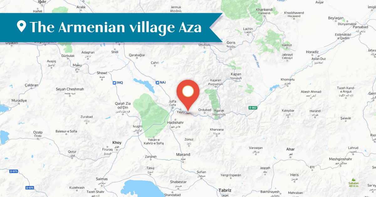
The village of Aza or Azatkert, about which historical references date back to the 15th century, was located in the Armenian province of Goghtn, on the left bank of the Giran (Gilan) River. Today, the name Aza[1] is preserved and attributed to the village of Verin Azat (Upper Azat), while Azatkert[2] is the former village of Nerkin Azat (Lower Azat). These settlements are administratively part of the Ordubad district of Nakhijevan. In 2003, these villages were officially registered under the name Aza[3], but due to the tradition, both names are still in use.
In addition to mentioning Nerkin Aza located south of Verin Aza, Ghevond Alishan also mentioned a Russian guard post called Aza situated on the bank of the Yeraskh River, which is now a settlement adjacent to a railway station, known by the name Nerkin Aza[4]. Alishan recorded the number of Armenian population of Verin Aza was 130 households or around 700 people, and Nerkin Aza had 20 households—about 100 people. According to Alishan, the five-arched bridge between the villages of Verin Aza and Der (or Darakend) was built at the expense of “Ter Mkrtchean Avetian of Agulis.” The inscription carved in stone has been published by A. Ayvazyan, and according to this inscription, the bridge was constructed in 1843. The Church of the Holy Mother of God, built in the 17th century in the western part of Verin Aza, was first mentioned in 1841. Today, the church is in a semi-ruined state.[5]
In Verin Aza, an Armenian parish school was opened in 1873, and a state (Russian) school was established in 1912. [6] As of 1914, according to the Nakhijevan Atlas, Verin Aza was entirely inhabited by Armenians.[7]
In the northwestern part of Nerkin Aza village, there was a chapel named St. Gevorg, dating to the 16th–17th centuries, which was renovated in the 19th century. Today, the chapel lies in ruins.[8]
In the center of Nerkin Aza, there was also a church named St. Archangels (Holy Savior), which was built during the medieval period. The church was first mentioned in 1902. It is now ruined.[9]
The name of the Armenian-inhabited village of Aza is connected to the name of the Azad-Jiran district of Nakhijevan. The Persian-language documents preserved in Matenadaran provide information about it. These documents contain references from the 15th–16th centuries to villages in the Azad-Jiran district, such as Drnis, Tanakert, Vanand, and Shorot, as well as farmsteads like Sal, Berdak, and others. In another Persian-language document from the Matenadaran, dated 1575, it is noted that two land plots in the village of Berdak in Azad-Jiran were owned by Hovhannes, son of Kijmir, the “Agulisian head of the village, pride of the Christians.”
This Persian document also mentions Hovhannes’s neighbors, listed as follows: Vardan’s orchard, Ohan’s land, Khudaverd’s orchard, and others. The inhabitants of these Armenian villages were engaged in agriculture, crafts, and trade.
In 1621, Safavid Shah Abbas I issued a decree prohibiting any interference in the existing tax relations between the Armenian Christians and the Church in Agulis, Azad-Jiran, and Nakhijevan. In contrast, the Azerbaijani state established in the 20th century pursued a deliberate policy of forcibly depopulating the Armenian villages of Nakhijevan and expelling their Armenian inhabitants. In these depopulated villages, Azerbaijani authorities have destroyed and continue to destroy the Armenian-Christian cultural heritage created over centuries. Perhaps the only remaining eloquent evidence of their Armenian origin are the surviving Armenian toponyms.
Bibliography
The Persian documents of Matenadaran: Deeds, 14th–16th Centuries, compiled by H. D. Papazian, Vol. I, Yerevan, 1959.
Persian Documents of the Matenadaran: Decrees, 1601–1650, compiled by H. D. Papazian, Vol. II, Yerevan, 1959.
A. Ayvazyan, The Epigraphic Heritage of Nakhijevan: Goghtn District, Vol. G, Yerevan, 2007.
Nakhichevan Atlas, Research on Armenian Architecture Foundation, Yerevan, 2012.
[1] The toponym Aza has been preserved in Azerbaijani in the forms of Aza, Azar, Azat, and Azad.
[2] Azatakert, Azerbaijani Azadkənd,
[3] Aza: Aza, Aza kənd։
[4] Lower Aza - Aşağı Aza
[5] Nakhichevan Atlas, Research on Armenian Architecture Foundation, Yerevan, 2012, p 24.
[6] Ibid. p. 23.
[7] Ibid. p. 21.
[8] Ibid. p. 24
[9] Ibid.