


“GEGHARD”
SCIENTIFIC ANALYTICAL
FOUNDATION
2026
2026
2026-01-15

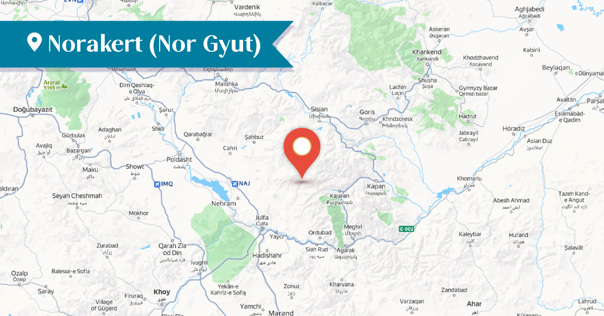
Norakert was one of the Armenian villages of the Goghtan (Goghtn) district in the historical province of Vaspurakan. It was located in the uppermost part of Bstadzor, in the zone of the Zangezur mountain range at an altitude of about 2,500 meters. The village remained outside the attention of researchers, as it was situated far from major roads.
Norakert was also known by the names Nurghut or Tere-Nirghit.[1] The inhabitants of the village were mainly engaged in horticulture, animal husbandry, and agriculture.[2] The study of the material culture of the village area has shown that the settlement had ancient origins. However, the settlement was particularly vibrant during the 14th–18th centuries.[3]
According to a 13th-century tax register, Norakert paid a tax of 12 units (drams) to the Tatev Monastery.[4]
In the central part of the village stood the Targmanchats Monastery, a three-aisled basilica with its entrance on the western facade. It was built in 1662 by Vardapet Yesayi.[5] The church had no wall paintings, sculptural reliefs, or decorative carvings. In front of the western facade, traces of ruined structures and a surrounding wall have been preserved. The Targmanchats Church was in a semi-ruined condition in the early 1990s and was completely destroyed between 1997 and 2006.[6]
Another church built in the medieval period was also located in Norakert; it was first mentioned in 1829. This church is now completely destroyed.[7]
A cemetery is situated in the southeastern part of the village and dates from the 12th to the 18th centuries. It contains approximately 100–110 Armenian tombstones and khachkars, mainly from the 14th–16th centuries. A number of tombstones and ram-shaped sculptures have been displaced and broken, while the Armenian inscriptions have deteriorated and been erased.
In the northeastern part of Norakert, on a conical hill, the ruins of a fortress dating to the 14th–15th centuries are located.
By the late 19th and early 20th centuries, the village had been depopulated of Armenians. Records indicate that during this period the village was inhabited by 25–26 Muslim households.[8]
Today, the village is known as Nirhut or Nyurgyut.[9] It is located in the Ordubad District of the Nakhichevan Autonomous Republic, approximately 37 km northeast of the town of the same name, and is inhabited by Azerbaijanis.
Bibliography
Ghevond Alishan, Sisakan, Venice, 1893.
Yervand Lalayan, Nakhijevan Province, Book XI, 1904.
T. Kh. Hakobyan, St. T. Melik-Bakhshyan, H. Kh. Barseghyan, Dictionary of Toponyms of Armenia and Adjacent Regions, Vol. 4, Yerevan, 1998.
A. Ayvazyan, The Architectural Monuments of Mesropavan, Shrju, Voghohi, and Norakert, Ejmiatsin (1980), B-C.
A. Ayvazyan, The Armenian Monuments of the Nakhijevan ASSR: A Comprehensive List, Yerevan, 1986.
Nakhijevan Atlas, Research on Armenian Architecture Foundation, Yerevan, 2012.
Caucasus Heritage Watch (CHW), https://storymaps.arcgis.com/stories/ea9a60df8db54f7780557961e86617fe.
[1] Ghevond Alishan, Sisakan, Venice, 1893, p. 334.
[2] T. Kh. Hakobyan, St. T. Melik-Bakhshyan, H. Kh. Barseghyan, Dictionary of Toponyms of Armenia and Adjacent Regions, Vol. 4, Yerevan, 1989, list 1, p. 38
[3] A. Ayvazyan, The Architectural Monuments of Mesropavan, Shrju, Voghohi, and Norakert, Ejmiatsin, (1980), B–C, p. 97.
[4] T. Kh. Hakobyan, St. T. Melik-Bakhshyan, H. Kh. Barseghyan, Dictionary of Toponyms of Armenia and Adjacent Regions, Vol. 4, Yerevan, 1989, list 1, p. 17.
[5] Nakhijevan Atlas, Research on Armenian Architecture Foundation, Yerevan, 2012, p. 24.
[6] Caucasus Heritage Watch (CHW), https://storymaps.arcgis.com/stories/ea9a60df8db54f7780557961e86617fe.
[7] Nakhijevan Atlas, Research on Armenian Architecture Foundation, Yerevan, 2012, p. 24.
[8] Ghevond Alishan, Sisakan, Venice, 1893, p. 344. Also, Ye. Lalayan, Nakhijevan Province, Book XI, 1904, p. 323,
[9] Norakert, currently known as Nyurgyut (Azerbaijani: Nürgüt).