“GEGHARD”
SCIENTIFIC ANALYTICAL
FOUNDATION


2026
2026
2025-10-16
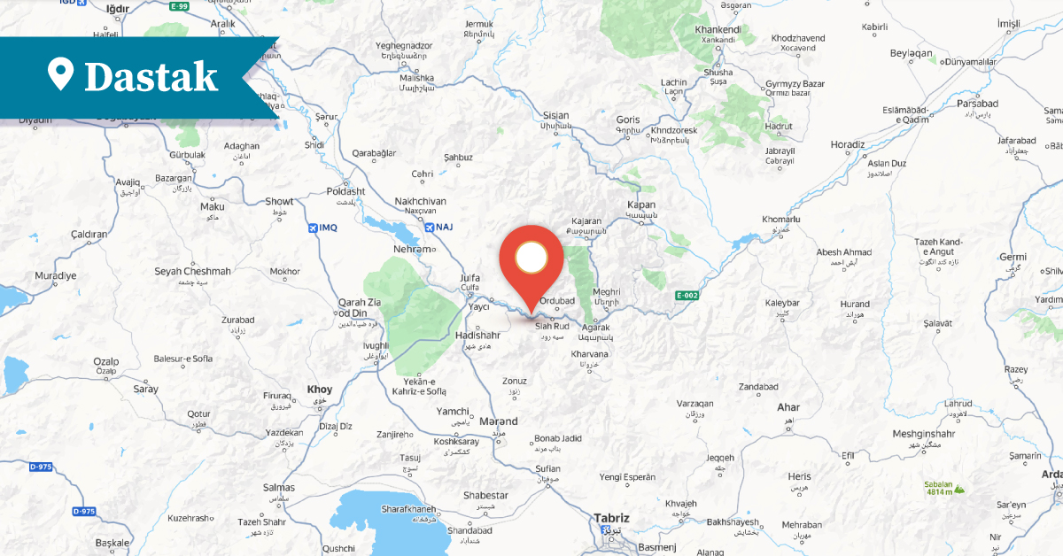
Dasta was one of the Armenian villages of the Goghtn (Goghtan) district in the Vaspurakan province of Greater Armenia. The village was located in the lowest part of the Trunyats or Dastadzor Valley of Goghtn, on the bank of the Araks River.
Ghevond Alishan also mentioned the Tasd form of the name, which he identified with Dastakert[1], referred to in one of the charters of the Monastery of Galatia (Ghalatio Vanats).[2] The village name, in the form Dastak, is also recorded on one of the tombstones in the Armenian church of the Italian city of Livorno:
“...This is the tomb of Khoja Beg’s son, Baghdasar of Dastak, who passed away in 1724, November 29.”[3]
The village is also mentioned in the inscriptions of the Saint Thomas (Surb Tovma) monastery of Agulis. [4]
In the second half of the 19th century, it had 62 households with 346 Armenian inhabitants, who by the end of the same century had migrated to the towns of Agulis and Shushi.[5]
There was a semi-ruined church in the village, which the surrounding Armenian population considered a pilgrimage site.
In the main square of Dastak, there was a spring of fresh water surrounded by tall and beautiful plane trees.[6]
In the northern part of the village stood the Church of Surb Khoran, which was built in the 12th–13th centuries.
It was first mentioned in a 1552 colophon of a Gospel, written by Sargis Gritch:
“Now it was renovated the Holy Gospel in the Church of Surb Khoran of the village of Dastak, in the district of Goghtn....”[7]
The Church of Surb Khoran was a domed basilica with its entrance on the western façade. The dome was built of brick. The church was renovated in the 17th century. Inscriptions were carved on its western façade, and around the entrance, on the capitals, there were decorative carvings. The church had a cemetery and surrounding walls, which today are in a ruined and decayed state.
In the 16th–17th centuries, there was a scriptorium in the Church of Surb Khoran of Dastak. The handwritten manuscripts of the monastery disappeared after attacks by enemies. The Church of Surb Khoran is now in ruins.
Ruins of a Persian mosque built in 1610–1611 and another mosque dating to the 19th–20th centuries have also been preserved in the village.[8]
Presently, the village is located in the Ordubad district of the Nakhijevan Autonomous Republic, about 8 km west of the town of the same name. It is now called Dəstə and is inhabited by Azerbaijanis.
Bibliography
Ghevond Alishan, Sisakan, Venice, 1893.
Yervand Lalayan, Nakhijevan Province, Book XI, 1904.
Nakhijevan Atlas, Research on Armenian Architecture Foundation, Yerevan, 2012.
A. Ayvazyan, The Armenian Monuments of the Nakhijevan ASSR: A Comprehensive List, Yerevan, 1986.
T. Kh. Hakobyan, St. T. Melik-Bakhshyan, H. Kh. Barseghyan, Dictionary of Toponyms of Armenia and Adjacent Regions, Vol. 2, Yerevan, 1988.
[1] T. Kh. Hakobyan, St. T. Melik-Bakhshyan, H. Kh. Barseghyan, Dictionary of Toponyms of Armenia and Adjacent Regions, Vol. 2, Yerevan, 1988, list 1, p. 38
[2] Ghevond Alishan, Sisakan, Venice, 1893, p. 338
[3] Ibid
[4] Ibid
[5] Yervand Lalayan, Nakhijevan Province, Book XI, 1904, p. 317
[6] Ibid pp. 317-318
[7] Nakhijevan Atlas, Research on Armenian Architecture Foundation, Yerevan, 2012, p. 24.
[8] Nakhijevan Atlas, Research on Armenian Architecture Foundation, Yerevan, 2012, p. 30