“GEGHARD”
SCIENTIFIC ANALYTICAL
FOUNDATION


2026
2026
2025-10-09
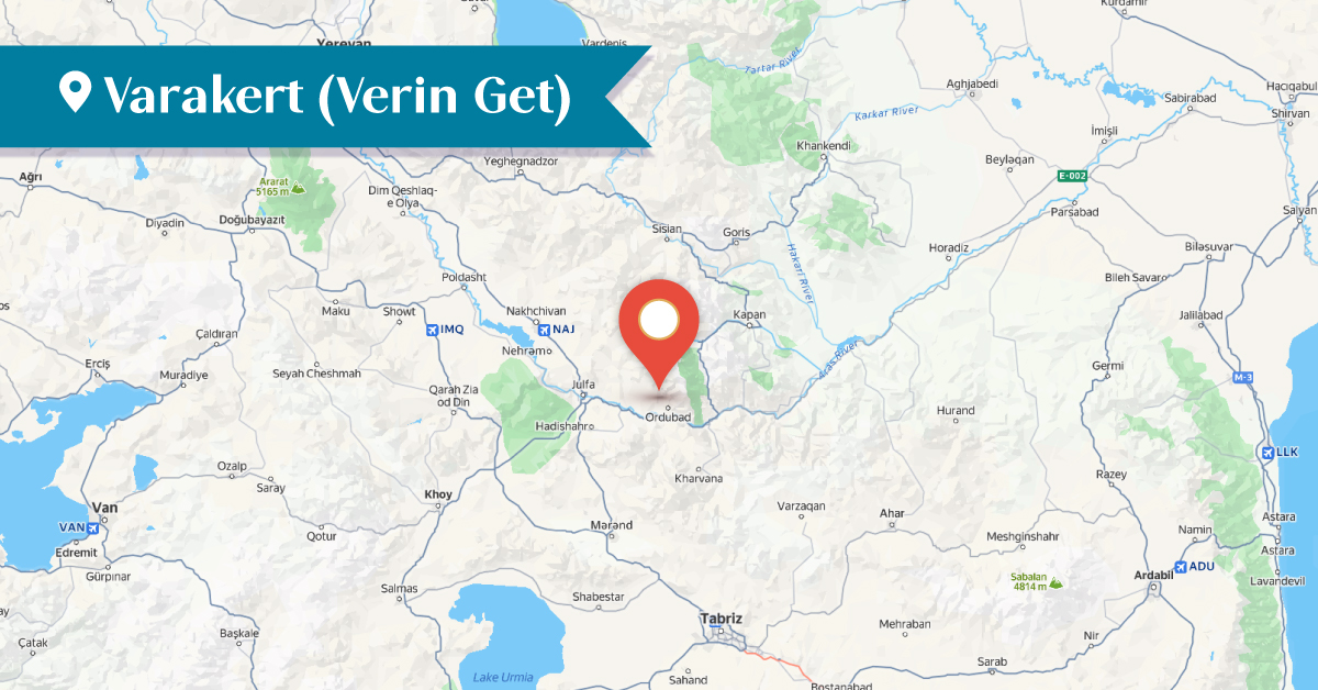
The village of Varakert was one of the large Armenian-populated villages in the historical Goghtn (Goghtan) district of Vaspurakan. It was also known as Verin Get or Veriget. The village was located 1–1.5 km north of Agulis, south of the village of Gegheretsik, in a narrow gorge. It consisted of 50–60 residential buildings. From the 17th century until the beginning of the 20th century, Verin Get was incorporated into Agulis and was considered one of its ten neighborhoods.[1]
The sacred site known as “Khachi Kar” (Stone of the Cross), built in the 12th–13th centuries, was located around 2.5 km north of the village.[2] Over time, however, it was destroyed. Only a large stone survived, on which carvings of crosses are still preserved.
The Church of Surb Stepanos once stood in Verin Get, though little information about it has reached us. The church was built in the Middle Ages and is mentioned in the 17th century, specifically in 1655, along with other renovated monuments of Agulis. The church was damaged in the 1840 earthquake but was restored in 1845 with funds provided by the Agulis merchant Hovhannes Ter-Janyan.[3]
Surb Stepanos was a domed basilica church, with entrances on the northern, southern, and western façades. These entrances were adorned with decorative carvings and reliefs. The church also had a bell tower, which was destroyed in the 1930s.[4] Today, the church is in ruins.
The Church of Surb Minas in Verin Get, built in the Middle Ages, also suffered damage in the 1840 earthquake. At present, the church is destroyed.
At the beginning of the 20th century, Verin Get had 55 Armenian households, with a total population of 539. Besides Armenians, there were 12 Muslim households in the village.[5]
By 1914, the overwhelming majority of the village’s population was Armenian. At the end of December 1919, Turkic-Tatar forces massacred the Armenian population, and from the 1920s onward, Verin Get lies in the ruins.
Bibliography
Yervand Lalayan, Nakhijevan Province, Book XI, 1904․
Nakhijevan Atlas, Research on Armenian Architecture Foundation, Yerevan, 2012․
T. Kh. Hakobyan, St. T. Melik-Bakhshyan, H. Kh. Barseghyan, Dictionary of Toponyms of Armenia and Adjacent Regions, Vol. 4, Yerevan, 1998.
A. Ayvazyan, Nakhijevan: An Illustrated Encyclopedic Guide, Yerevan, 1995.
A. Ayvazyan, Architectural Monuments of Agulis, Herald of Social Sciences, 1978, no. 2.
[1] Yervand Lalayan, Nakhijevan Province, Book XI, 1904, p. 301.
[2] A. Ayvazyan, The Armenian Monuments of the Nakhijevan ASSR: A Comprehensive List, Yerevan, 1986, p. 22.
[3] Yervand Lalayan, Nakhijevan Province, Book XI, 1904, p. 302.
[4] A. Ayvazyan, Architectural Monuments of Agulis, Herald of Social Sciences, 1978, no. 2, p. 84:
[5] Yervand Lalayan, Nakhijevan Province, Book XI, 1904, p. 305.